Orbvi Spatial Suite
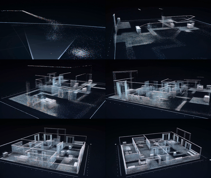
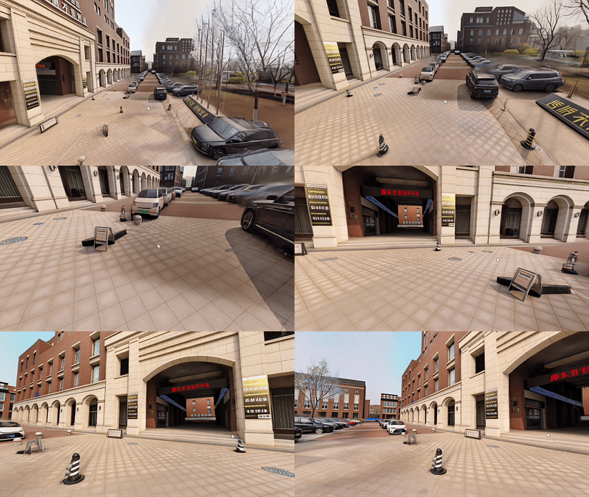
Orbvi Spatial Suite is a spatial intelligence application suite for robots, drones and mobile platforms. Built on Orbvi multi-view vision, IMU and LiDAR sensing, it supports higher-level algorithms and applications for 3D reconstruction, spatial understanding, mapping, navigation and intelligent scene analysis. The suite will progressively bring together vision–LiDAR fusion, depth perception, visual point clouds, 3DGS/NeRF scene representations, robot navigation and multimodal interaction, helping developers turn raw sensor data into spatial intelligence workflows that perceive, understand and act.
Open-source and adapted projects