Orbvi 4P launch video

Our products

Orbvi 4V

Vision-based spatial intelligence hardware

Omnidirectional imaging, IMU, VIO and panoramic depth for robots, robot dogs, humanoids and mobile platforms.

Orbvi 4VL

Multimodal spatial intelligence hardware

Adding LiDAR point clouds to the 4V platform, Orbvi 4VL supports applications that need coordinated vision and laser sensing.

Orbvi 4V Lite

Lightweight omnidirectional visual spatial intelligence hardware

Built for robotics at scale, its lightweight four-camera fisheye design provides omnidirectional vision, panoramic depth and visual-inertial localization.

Orbvi 4P

Open four-camera spatial intelligence camera

Built for robotics research and embodied AI data capture, Orbvi 4P combines four-camera vision, an IMU, hardware synchronization and edge computing in an open hardware and software platform for perception development and system integration.

Technical specifications

Drag left or right to compare all products

Orbvi 4VOrbvi 4VLOrbvi 4V LiteOrbvi 4P
Product positioningVision-based spatial perceptionVision + LiDAR spatial perceptionCost-effective omnidirectional visual spatial perceptionOpen four-camera spatial intelligence camera
General specificationsSensorsFour color fisheye cameras + integrated IMUFour color fisheye cameras + integrated IMU + 360° LiDARFour color fisheye cameras + integrated IMUFour fisheye cameras + integrated IMU
CPUQuad-core ARM Cortex-A76 @ 2.4 GHz + quad-core ARM Cortex-A55 @ 1.8 GHzQuad-core ARM Cortex-A76 @ 2.4 GHz + quad-core ARM Cortex-A55 @ 1.8 GHz—Octa-core ARM Cortex-A55 @ 1.5 GHz
AI computing power6TOPS6TOPS10TOPS10TOPS (INT8)
Memory / storage (SKU)———2GB+16GB / 4GB+32GB / 8GB+64GB
Vision specificationsCamera configurationFour color fisheye camerasFour color fisheye camerasFour color fisheye camerasFour fisheye cameras
Sensor shutter——Global shutterGlobal shutter
Single-camera FOVH200°×V180°H200°×V180°——
Global FOVH360° × V180° with full-coverage parallaxH360° × V180° with full-coverage parallaxH360°×V180°—
Raw fisheye images1280 × 1080,20Hz1280 × 1080,20Hz1280 × 1080 × 4 @ 30Hz1280 × 1088 @ 30fps
Coaxial cable length (×4)———200mm / 400mm
Visual depth perceptionDepth FOVH360°×V72°H360°×V72°H360°×V72°—
Panoramic depth map2048 × 464,10Hz2048 × 464,10Hz2048 × 464 @ 10Hz—
Four-direction depth maps320 × 256 × 4,10Hz320 × 256 × 4,10Hz——
Sensing range0.15m-30m0.15m-30m0.15–30m—
Depth error1%@1m;5%@5m1%@1m;5%@5m1%@1m;5%@5m—
TechnologyEnd-to-end deep learning with support for low-texture environmentsEnd-to-end deep learning with support for low-texture environments——
Visual-inertial navigationOdometry output rate200Hz200Hz200Hz—
Positioning errorAbsolute: 5 cm; relative: 1%Absolute: 5 cm; relative: 1%Accumulated error <1% @ 200Hz—
IMUDegrees of freedom———3-axis linear acceleration + 3-axis angular velocity
Frequency200Hz200Hz—1000Hz
SynchronizationMulti-sensor synchronization——Four-camera + IMU hardware synchronization, μs-level accuracy<1ms (sub-millisecond hardware synchronization)
LidarModel-Mid360s——
Clock synchronization-Supported——
Hardware specificationsInterfacesEthernet, USB virtual network interfaceEthernet, USB virtual network interfaceUSB3.x (Type-C), GH1.25-4P time synchronization1 × GbE (10/100/1000M)、1 × USB 3.0 Type-C
Serial / CAN———UART TTL / CAN-FD 8Mbps
Trigger/PPS———Dedicated trigger interface
Input voltage———12VDC
Operating temperature———-20–70°C
Dimensions107.55 x 107.55 x 30.55 mm107.55 x 107.55 x 86.55 mm105.6 × 105.6 × 18.6 mmMainboard: 55 × 40 × 20 mm
Weight220g486g110g90g (including cameras)
Power consumption8W15W6W<8W

— indicates a specification not provided in the current documentation.
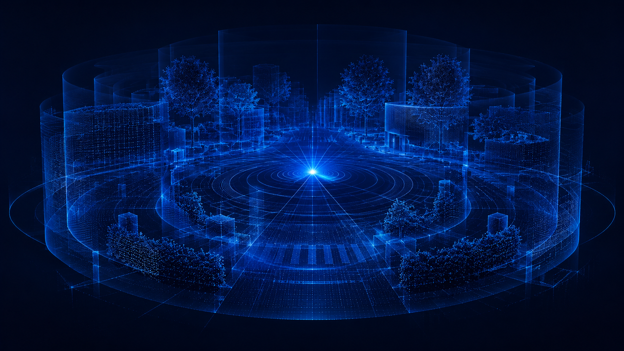
Product advantages

End-to-end depth perception

End-to-end depth perception

Real-time panoramic depth on a low-power edge platform

Overcome the narrow fields of view of conventional RGB-D and stereo cameras, with reliable sensing in sunlight and low-texture environments.
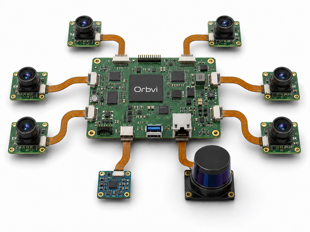
Spatiotemporal alignment

Spatiotemporal alignment

Hardware synchronization across sensors

Ready out of the box, with no repeated intrinsic or extrinsic calibration. Get reliable data on a shared spatial and temporal reference.
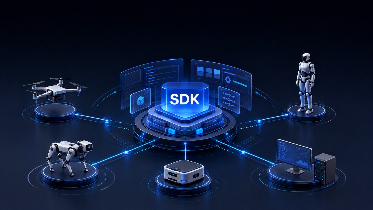
Open and versatile

Open and versatile

Multi-platform SDKs and open interfaces

Integrate efficiently and develop custom applications across a wide range of scenarios.

Applications

Explore new possibilities through technology and innovation.

Visual navigation and localization

Visual navigation and localization

Robotic spatial perception

Robotic spatial perception

Custom industry solutions

Custom industry solutions